Big Data & AI for Earth systems
Computational geoscience for a changing planet — from big Earth data to trustworthy forecasts for natural hazards, groundwater and mineral resources.
- Publications
- 0
- Research axes
- 0
- Open-source tools
- 0
- Funded projects
- 0
Research axes
Four connected axes — Big Data in Earth Systems is the foundation the other three build on.
My work sits at the nexus of big Earth data, AI and geophysics. I build computational pipelines and physics-informed models that turn satellite, geophysical and field data into insight — to anticipate natural hazards, find water and mineral resources, and make forecasts trustworthy.
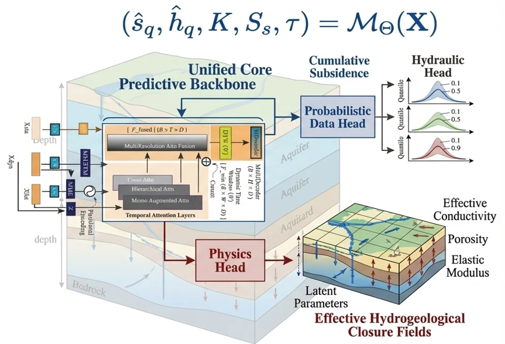 2Deep-learning frameworks
Research axis 01
Big Data in Earth Systems
- Problem
- Satellites, geophysical surveys and sensor networks produce far more data than traditional geoscience workflows can turn into insight.
- Approach
- Computational geoscience pipelines and physics-informed, explainable deep learning (GeoPriorSubsNet, XTFT) that scale from raw data to decisions.
 R² > 0.90Subsidence model accuracy
Research axis 02
Natural Hazards
- Problem
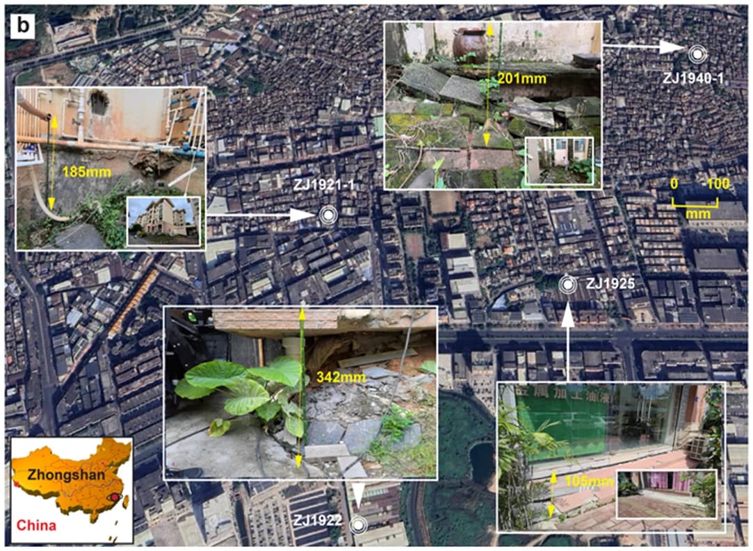
- Land subsidence, contamination from failing landfills and wildfires threaten cities, water and ecosystems — often faster than monitoring can follow.
- Approach
- Physics-guided subsidence forecasting, AI detection of leachate from geophysical data, and early warning for wildfire risk.
 >90%Drilling success rate
Research axis 03
Groundwater & Mineral Exploration
- Problem
- Finding water and mineral resources where data are scarce remains costly and uncertain.
- Approach
- AI-assisted EM, CSAMT and resistivity methods, supported by open-source tools like pyCSAMT and watex.
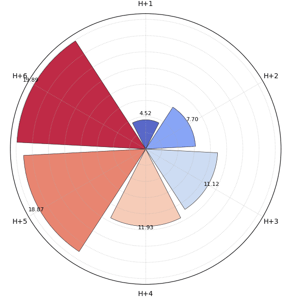 100+Plot functions in k-diagram
Research axis 04
Uncertainty & Trustworthy Forecasting
- Problem
- Making reliable decisions requires a trustworthy understanding of forecast uncertainty.
- Approach
- Developing novel polar diagnostics (k-diagram) to analyze forecast coverage, reliability, and severity.
How the research fits together
Field measurements feed physics-guided models, diagnostics make them trustworthy, and the results become decisions and open tools.
- 01
Observe
Electromagnetic (AMT/CSAMT), resistivity (ERT), InSAR and borehole data from the field.
- 04
Decide
Drilling sites that find water, and subsidence risk maps planners can act on.
From the field
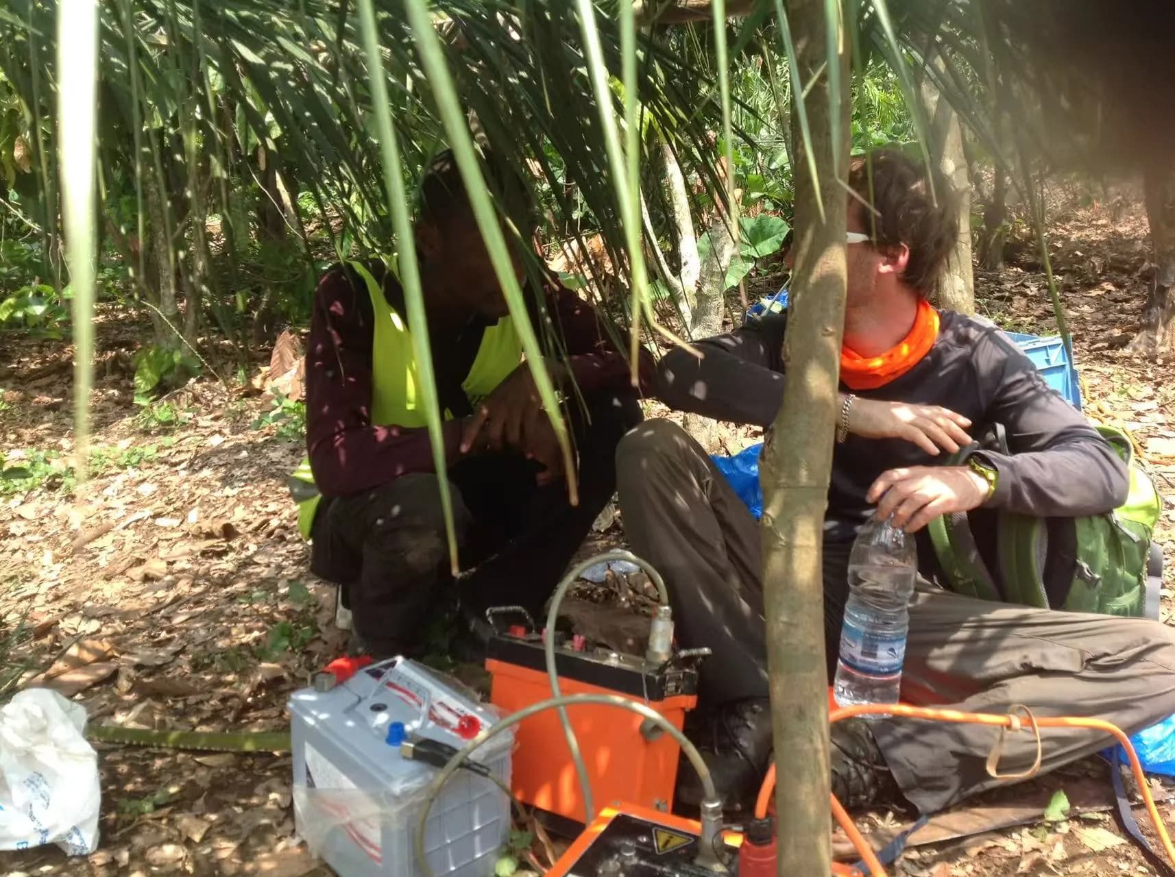
Côte d'Ivoire · 2019–2022 · geophysical surveys and community impact — click a photo to enlarge it.
Research activity
Output per year since 2020, from the publications, talks and funding records on this site.