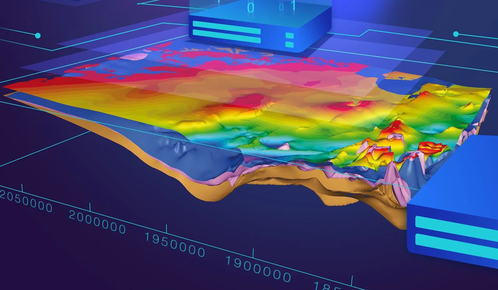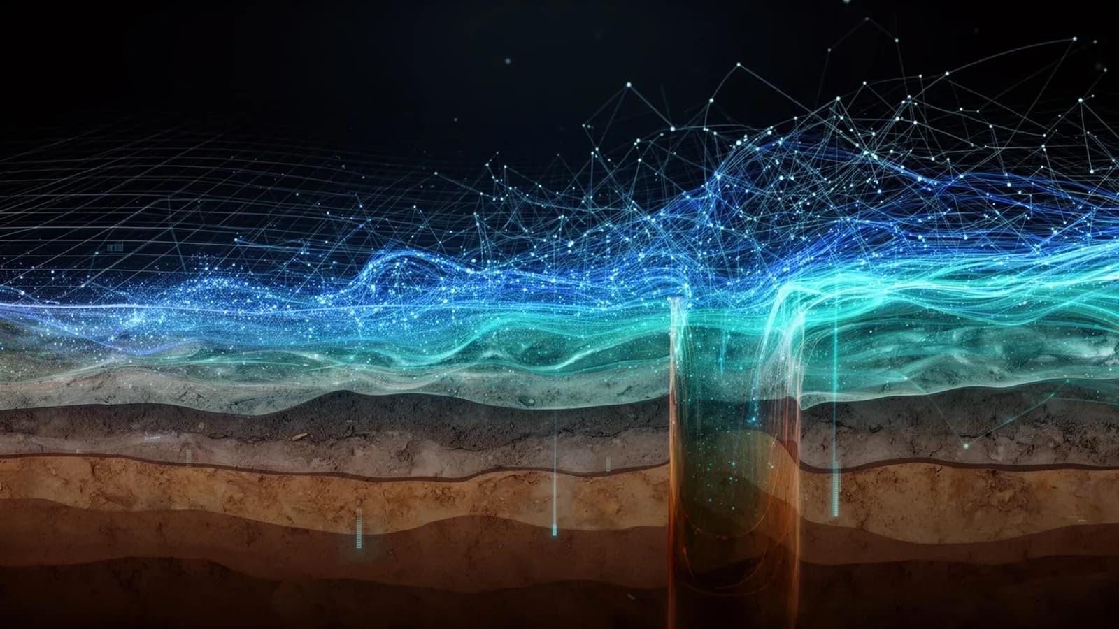
Some scientific fields you discover as a student, deepen through research, and slowly they become far more than a professional specialty. They end up shaping how you think, how you work, and even how you look at the world. For me, digital geoscience is one of those fields.
What excites me is the chance to bring together two worlds that can seem far apart: on one side the Earth, with its hidden structures, its resources and its natural phenomena; on the other, computing and mathematics, and that almost magical ability to turn ideas into models, and models into tools that help us understand our environment. I would like to share this passion, not through an academic paper, but in the words of a scientist who loves what he does.
Two worlds, one curiosity
have always been fascinated by the fact that we live on a planet we know directly only in a tiny part. Every day we walk on ground that hides complex geological structures. We watch rivers without seeing all the processes that govern their flow. We know resources lie beneath our feet, yet where they are, how they are distributed and how they change remain hard to determine.
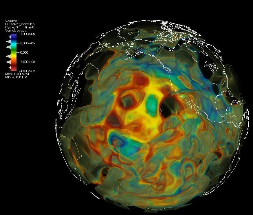
Geophysics gives us remarkable ways to explore this invisible world. But another question gradually captured me: how can we use the power of computing to go further in understanding the Earth?
That is where digital geoscience makes complete sense. Computing is no longer just a tool for running calculations or presenting results. It becomes a true space for scientific experimentation, where we test ideas against observations, explore hypotheses and imagine new ways to solve problems. That is exactly where much of my enthusiasm comes from.
The joy of turning an idea into a working tool
f there is one part of my work I particularly enjoy, it is building scientific tools. It usually starts with a question, sometimes a deceptively simple one.
Then come the thinking, the reading, the first mathematical formulations and, finally, the lines of code. Of course, nothing works the first time. Sometimes a hypothesis needs revisiting, an algorithm needs fixing, or an approach simply does not deliver. But what a joy when the pieces finally fall into place: when hard-to-read data take an understandable shape, when weeks of thinking become a working program, and when that program becomes a tool other scientists use in their own work.
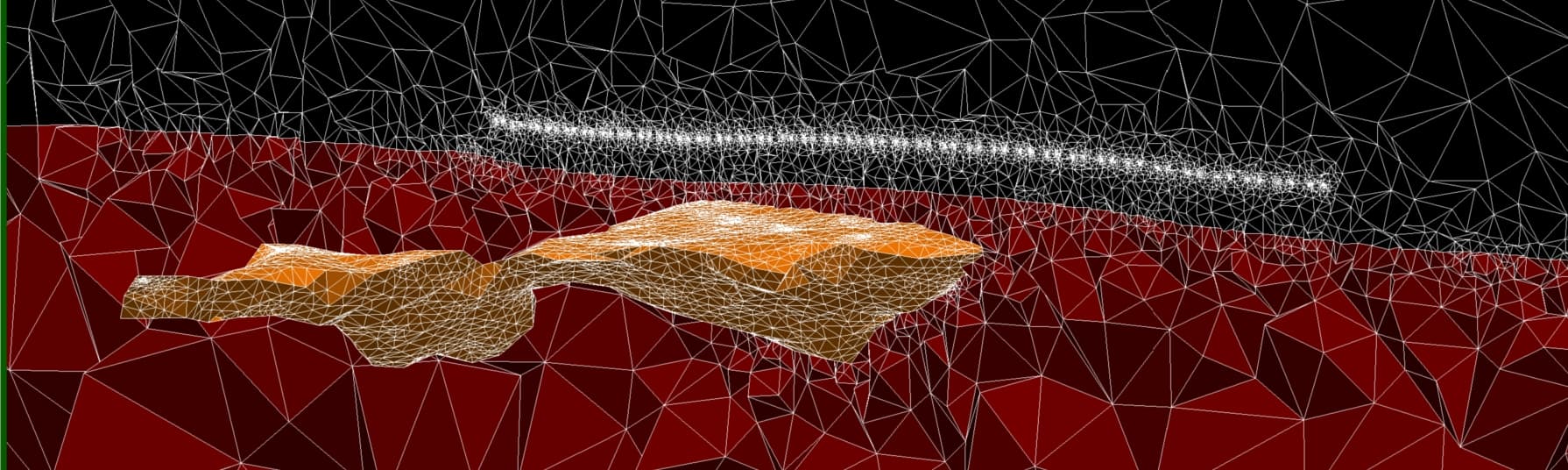
Building pyCSAMT, a platform for analysing, modelling and interpreting electromagnetic data, grew from this spirit. Beyond the software itself, the project reflects a deep conviction: we can do more than use existing scientific tools; we can design our own, improve them and share them with the community.
“Being a scientist also means having the freedom to imagine and build the instruments of your own discoveries.
”
Between geophysics, programming and artificial intelligence
f I had to say what makes digital geoscience so stimulating, I would point to its intellectual richness. In a single day you can think through a physical problem, develop an algorithm, visualise data, test an artificial intelligence model and come back to a fundamental geological question.
Geophysics teaches us to observe and question the Earth. Mathematics lets us formalise phenomena. Computing gives us the means to solve complex problems. Artificial intelligence opens new ways to analyse data and explore relationships that are hard to capture with classical approaches.
Yet what interests me most is not technology for its own sake. An algorithm, however sophisticated, must first serve a scientific question. Producing beautiful figures or impressive predictions is not enough; we still need to understand what the results mean, what they actually teach us and where their limits lie.
“The power of computing should never replace our scientific curiosity. It should give that curiosity more ways to express itself.
”
This philosophy drives my interest in approaches that combine physics, numerical modelling and artificial intelligence: models that learn from data without forgetting the laws that govern the Earth.
A passion worth sharing
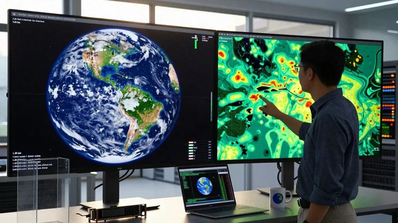
ver time I have learned that a scientific passion grows richer when it is shared. Doing research, developing methods and publishing are rewarding; but passing an idea on to someone who is discovering it for the first time brings an immense satisfaction.
Watching a student grasp what a numerical model is, write their first lines of scientific code, or realise that computing can help solve a real geoscience problem is deeply motivating. Because yes, science is also a creative activity: creating a model, imagining a method, designing software or finding a new way to visualise data all take rigour, but also imagination.
And you do not need to be an expert in programming, artificial intelligence or advanced mathematics to get started. Above all, you need curiosity, patience and the desire to learn.
What if we grew digital geoscience in Africa?
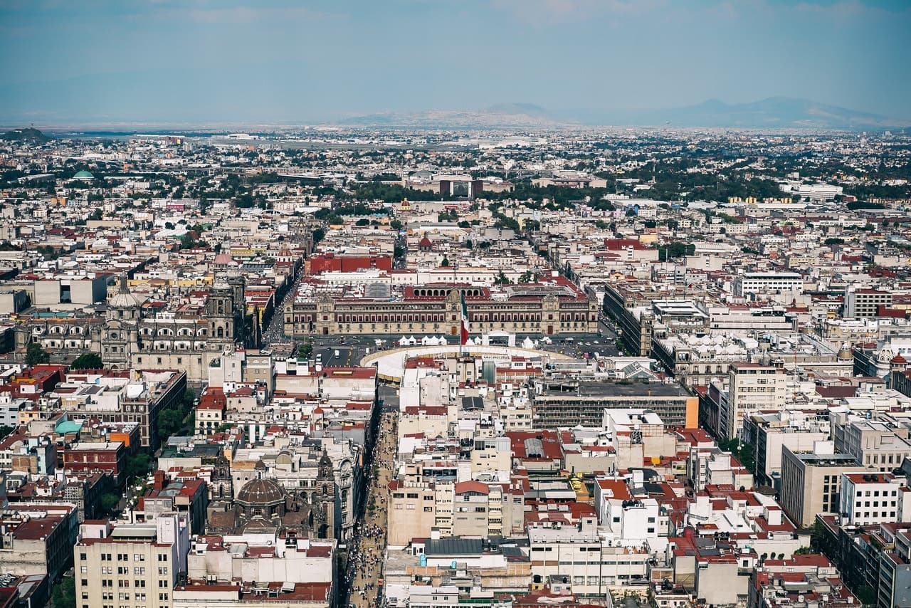
his passion takes on a special meaning when I think about the future of Earth sciences in Africa, and in Côte d’Ivoire in particular. Our countries have major natural resources, territories to understand better and environments to protect. It is, in fact, one of the reasons I chose to come back to the continent, and to Côte d’Ivoire in particular: to put my skills to work on these questions, from here. Mineral exploration, water availability, flood risk and environmental management are all challenges where numerical approaches can contribute a great deal.
Beyond these applications, I see above all a tremendous opportunity to build our own scientific and technological capacity.
As a lecturer-researcher at the Institut National Polytechnique Félix Houphouët-Boigny (INP-HB), I would like to contribute to this momentum, at my own scale, through teaching, research, software development and knowledge sharing. I am convinced we have the talent; it is up to us to create more opportunities to train it, support it and let it innovate.
Keep learning, creating and sharing
igital geoscience keeps reminding us how much there is still to learn. Every new problem can lead to an unfamiliar method; every technological advance can open an unexpected perspective; every conversation with a colleague or student can spark an idea. It is a field that invites us to stay curious, humble and open, and it is precisely its vastness that motivates me.
In upcoming articles I will come back to some of its dimensions: numerical modelling, inverse problems, scientific programming, artificial intelligence for the geosciences, and what open-source software makes possible today.
For me, digital geoscience is far more than a scientific specialty: it is a way of exploring the Earth, bringing ideas to life and contributing, through knowledge and technology, to a better understanding of our planet. If these lines make a student, a young researcher or an enthusiast want to write their first line of code or build their own scientific tool, this post will already have done part of its job.
“Science advances through discoveries, but also through the passions we choose to pass on.
”