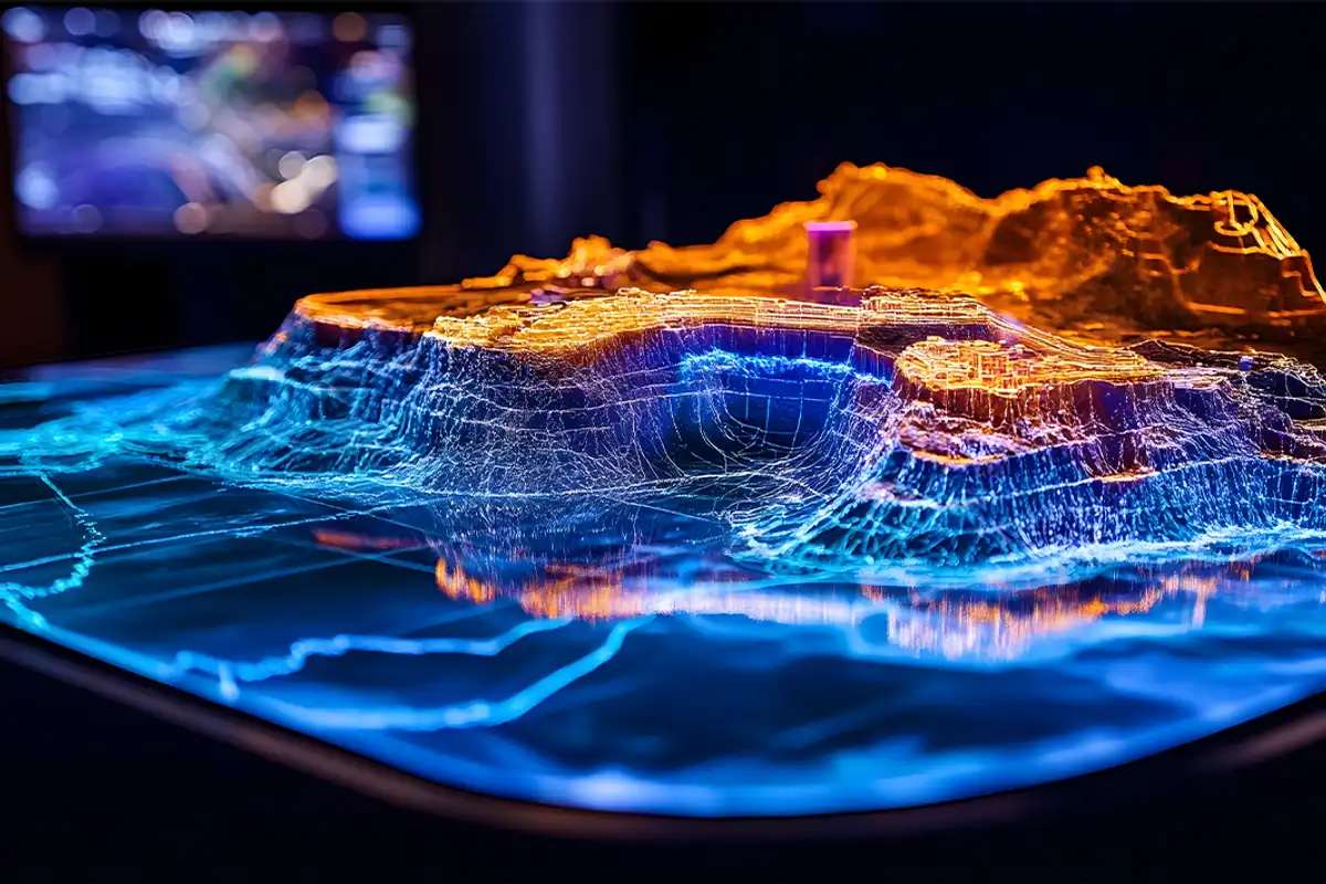
Geohazards rarely arrive first as elegant equations. They arrive as broken roads, drowned neighborhoods, settling ground, damaged foundations, and landscapes that quietly stop behaving the way people expect. That is the real starting point of GeoPrior-v3. The project is not simply an attempt to add another AI model to geoscience. It is an attempt to build a more trustworthy scientific workflow for hazards whose behavior is spatial, physical, uncertain, and costly to misunderstand.
The current flagship mission is land subsidence, not because subsidence is the only geohazard that matters, but because it sits at a revealing intersection: slow deformation, hidden subsurface mechanisms, urban vulnerability, groundwater stress, and decision pressure. Few hazard settings show more clearly why a statistically convincing forecast can still be physically fragile. In that sense, GeoPrior-v3 is not only a software release. It is an argument about method: geohazard forecasting should move beyond black-box accuracy toward models and workflows that are physically interpretable, reproducible, inspectable, and genuinely usable in scientific practice.
Geohazards become visible before they become legible
eohazards are often discussed as categories: flooding, sinkholes, subsidence, landslides, seismic damage, coastal failure. But people do not live through them as categories. They live through blocked roads, distorted buildings, broken drainage, shortened warning time, and infrastructure pushed beyond what the ground beneath it can safely support.
Some hazards announce themselves dramatically. Others accumulate almost silently. That difference matters. A sudden event can be devastating, but a slow hazard can be underestimated for years because its destructive logic unfolds piece by piece. The danger is not only the event itself; it is the long interval during which the system changes while the meaning of those changes remains poorly understood.


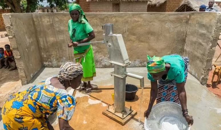
This is one reason land subsidence deserves to be taken seriously inside a broader geohazard conversation. It is rarely experienced as an elegant deformation signal. It is experienced through tilted walls, fractured roads, drainage failure, altered flood pathways, and urban surfaces that slowly lose their mechanical trustworthiness.
The sinkhole sequence above reinforces the same lesson from a different mechanism. Surface expression arrives last. Whether the driver is cavity growth, groundwater depletion, compaction, or slope instability, the visible failure is usually the public face of a deeper and longer process. The scientific challenge is therefore not only to detect damage after it appears, but to understand the physical pathway that makes the damage plausible in the first place.
“A geohazard forecast becomes useful only when it remains plausible as a story about the Earth, not merely as a curve that fits yesterday’s data.
”
That is the shift in perspective behind GeoPrior-v3. The goal is not to decorate geohazard analysis with AI vocabulary. The goal is to keep forecasting connected to mechanism, context, and physical meaning, so that prediction becomes not only sharper, but more believable.
Why black-box AI is not enough for geohazards
urely data-driven AI can be powerful. It can compress large signals, interpolate patterns, and generate visually persuasive outputs. In many settings that is already enough. In geohazards, it is not. The central question is rarely just whether a model matched the historical record. It is whether the forecast remains meaningful when the system shifts, the forcing evolves, the site changes, or the model is asked to travel beyond the conditions that taught it how to fit.

Across different regions of the world, subsidence has been associated with groundwater extraction, aquifer-system compaction, rapid urban growth, coastal vulnerability, and changing subsurface stress regimes, as discussed by Galloway and Burbey (2011), Abidin et al. (2011), Motagh et al. (2008), Chaussard et al. (2014), Shirzaei et al. (2021), Candela and Koster (2022), and Hasan et al. (2023). The hazard is therefore not arbitrary. It emerges from coupled hydrogeological and mechanical behavior, which means a forecast should be judged not only by fit, but by plausibility.
That is exactly where black-box forecasting becomes fragile. A model may discover correlations that are numerically strong inside the training domain but physically weak outside it. It may absorb proxies without knowing whether they reflect hydraulic response, urban loading, measurement bias, or accidental co-variation. It may generate smooth maps that look stable while silently violating the structure of the system it claims to describe.
This is why the most important distinction is not between “AI” and “no AI.” It is between unconstrained prediction and physically guided learning. The first may be useful for screening. The second is much better suited to scientific forecasting, transferability, and risk-aware interpretation.
Why land subsidence is the right first battlefield
ot every geohazard is equally suited to become the first proving ground for a new scientific AI framework. The ideal starting point must be both scientifically demanding and socially relevant. It should expose the limits of purely statistical prediction while also rewarding models that respect physical structure, spatial variability, and temporal memory. Land subsidence does exactly that.

In many subsidence settings, groundwater decline is not merely correlated with deformation; it is part of the causal chain through which pore pressure, effective stress, storage behavior, and compaction evolve together. The mechanism-oriented visual above is particularly useful in that regard and aligns well with the public explanation shared by Brett McDaniel. It captures why subsidence should be read as a coupled subsurface process rather than as a surface symptom alone.
The importance of silent, cumulative deformation becomes even clearer in metropolitan settings. A striking example is the Maceió disaster in Brazil, where long-duration ground instability culminated in a major urban crisis. The figure below is linked to the analysis by Vassileva et al. (2021), who documented how a decade-long subsidence hazard evolved toward visible metropolitan failure.
Subsidence is therefore a revealing scientific test. A weak model can still produce attractive maps. A stronger model must do more: it must remain coherent when groundwater signals change, when the site changes, when the forecast horizon extends, and when the result is interpreted not by a benchmark table, but by a scientist, engineer, or planner who needs to trust what the pattern means.
“Subsidence is slow enough to learn from, physical enough to constrain, and important enough that getting it wrong still has real consequences.
”
That accumulated character is scientifically valuable. It means the model must learn more than spatial pattern. It must reason over persistence, delayed response, cumulative deformation, and the way a stressed subsurface system leaves its signature across time rather than in a single moment. Few first test cases reveal the need for physics-guided AI more clearly.
From geohazard complexity to physics-guided AI

he central difficulty in geohazard forecasting is not simply that the data are noisy. It is that the system itself is structured. Surface deformation, groundwater change, compaction, storage, thickness effects, and local forcing are not independent patterns waiting to be fit one by one. They are coupled expressions of the same evolving environment.
Physics-guided AI begins from a different premise than ordinary black-box prediction. Instead of asking the model to learn everything from correlations alone, it asks the model to learn inside a scientifically meaningful space. The data still matter. The neural network still matters. But the forecast is no longer free to behave as if the hazard were detached from its governing mechanisms.
In this combined objective, observational fit remains essential, but it is trained alongside physical coherence and scientifically meaningful priors. That is the methodological heart of GeoPrior-v3. The framework is not trying to reduce the role of AI. It is trying to make learning more accountable to the Earth system it claims to describe.
The deeper question is not simply whether AI can predict subsidence. It is what kind of AI can learn from geohazard data without losing contact with the physical structure that gives those data meaning.
GeoPrior-v3 and GeoPriorSubsNet
nce that design logic is clear, the distinction between framework and flagship model becomes much easier to understand. GeoPrior-v3 is the broader scientific system: it organizes workflow, reproducibility, diagnostics, and interpretation. GeoPriorSubsNet is the flagship model that currently embodies this logic most directly for land subsidence forecasting.
GeoPriorSubsNet is not meant to be a generic forecasting network placed on top of geohazard data. It is the first concrete realization of the larger GeoPrior-v3 philosophy: a model that learns from observations while remaining tied to the physical structure of subsidence.
The relaxation-style expression above captures the intuition, even though the implemented model is richer than a single equation. Subsidence is not treated as an arbitrary sequence. It is treated as the temporal consequence of a physically structured response, in which settlement, groundwater behavior, and characteristic timescales should remain mutually coherent.
That is why the model matters scientifically. Its value does not come only from sophistication. It comes from a better alignment between what is being predicted and what the hazard actually is. Subsidence is the surface signature of a deeper process. A flagship model for subsidence should preserve some contact with that process during learning.
From model logic to guided scientific use
forecasting framework proves its value not only through architecture, but through use. This is where many otherwise strong scientific models become hard to adopt. The theory may be compelling, yet the practical path from data to interpretable outputs often remains fragmented, brittle, or dependent on internal project knowledge.
GeoPrior-v3 addresses that gap by treating the forecasting process as a guided scientific pathway. Setup, preprocessing, configuration, training, tuning, inference, mapping, and exported artifacts are staged as parts of a coherent sequence. That structure matters because reproducibility is not administrative overhead in geohazards; it is part of what makes a forecast scientifically believable.
The application layer is therefore not cosmetic. It is part of the scientific usability of the project. Forecasts are rarely consumed as raw tensors. They are interpreted through maps, comparisons, diagnostics, summaries, and exported results that can be shared and revisited. A user needs more than a prediction; they need a path to interpretation.
This is also where the public project surface becomes useful. The documentation and source code make the framework inspectable. The step-by-step English tutorial, the simulation walkthrough, and the French presentation on GeoPriorSubsNet and transferability help connect the modeling logic to real user workflows.
GeoPrior-v3 is not only about building a better forecasting model. It is also about building a better route from complex geohazard data to interpretable, reproducible, and user-facing scientific outputs.
Why open scientific software matters here
framework like GeoPrior-v3 becomes fully meaningful only if others can inspect it, test it, challenge it, reuse it, and extend it. That is why openness is not an afterthought in this project. It is part of the scientific position behind it.
In geohazard forecasting, credibility cannot rest on screenshots or benchmark claims alone. A result becomes more valuable when the surrounding scientific infrastructure is visible: the code, the workflow logic, the documentation, the staged outputs, and the assumptions that shape the forecast itself. Openness does more than share code. It makes reasoning inspectable, comparison possible, and improvement collective.
This is also why the narrative side of the project matters. The broader research direction, portfolio context, and evolving project identity are easier to follow through the main project website, while operational guidance lives in the documentation and implementation detail lives in the repository. Together, those surfaces make the scientific logic easier to read, not just easier to download.
What comes next
eoPrior-v3 begins with land subsidence, but it is not meant to end there. Subsidence is the first battlefield because it makes the project’s core argument unusually clear: geohazard forecasting needs more than flexible prediction. It needs physically guided learning, structured workflows, interpretable outputs, and scientific reproducibility.
The same logic can extend further. Many geohazards are not isolated events, but coupled Earth-system responses shaped by water, stress, material properties, terrain evolution, infrastructure exposure, and uncertain forcing. As those problems become more data-rich and more societally urgent, the case for a framework like GeoPrior-v3 becomes even stronger.
“The long-term ambition is not only better hazard maps, but better scientific intelligence for a changing Earth.
”
The next stage is therefore not just expansion in scale, but expansion in depth: broader geohazard applicability, stronger treatment of uncertainty, more robust transferability across sites, and richer ways of connecting physical priors with modern AI architectures. The project is already laying the foundation for that future by uniting model design, workflow discipline, guided use, and open scientific infrastructure.
GeoPrior-v3 is an invitation to rethink geohazard forecasting as a physically guided, workflow-aware, and openly inspectable scientific practice. The question is no longer whether AI can predict hazards. The deeper question is what kind of AI we should trust to do so.