My Research
Developing intelligent systems to understand and protect our planet's critical subsurface resources.
My work sits at the nexus of AI and geophysics. I translate complex subsurface data into actionable insights for environmental challenges. Using physics-informed learning and new uncertainty diagnostics, I help cities plan for land subsidence, accelerate groundwater exploration, and make probabilistic forecasts trustworthy.
Core Research Areas
Land Subsidence Forecasting
Problem
Rapid urbanization and groundwater extraction threaten critical infrastructure.
Approach
Physics-informed deep learning via GeoPriorSubsNet (GeoPrior-v3) for multi-city geohazard forecasting and urban planning.
Sustainable Groundwater Exploration
Problem
Locating clean water in data-scarce regions remains a significant global challenge.
Approach
AI-assisted inversions of AMT/CSAMT data, supported by open-source tooling like pyCSAMT.
Methodological Focus
Interpretable Uncertainty Diagnostics
Problem
Making reliable decisions requires a trustworthy understanding of forecast uncertainty.
Approach
Developing novel polar diagnostics (k-diagram) to analyze forecast coverage, reliability, and severity.
Explainable & Physics-Informed AI
Problem
Standard machine learning models can produce physically implausible results that collapse under distribution shift.
Approach
GeoPriorSubsNet v3 embeds hydrogeological physics directly into the network — recovering latent conductivity, porosity, and elastic modulus alongside probabilistic forecasts.
Field Evidence
From the Field
Côte d'Ivoire · 2019–2022 · Geophysical surveys & community impact
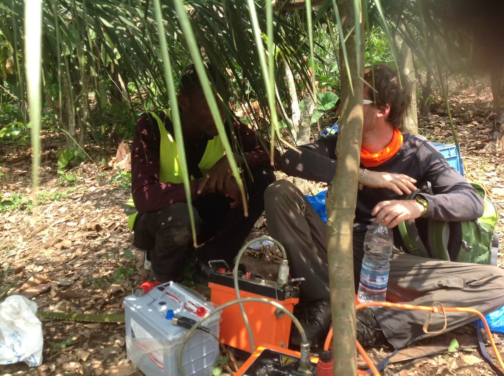
ERT Equipment Setup
Wenner array deployment for deep hydrogeological target imaging — the first step before borehole siting decisions.
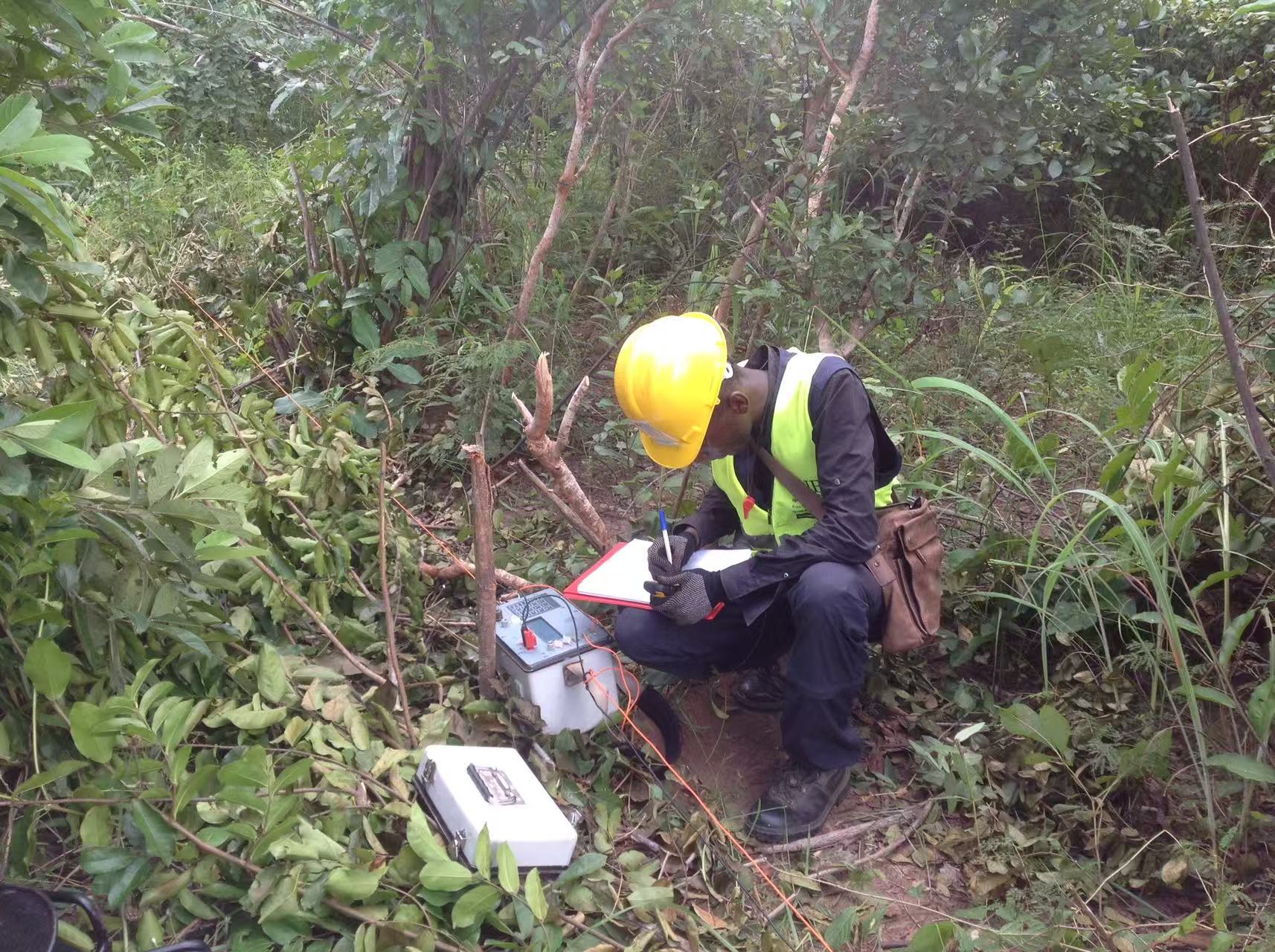
ERT Water Exploration
Resistivity profiling to map subsurface water-bearing structures in data-scarce rural terrain.
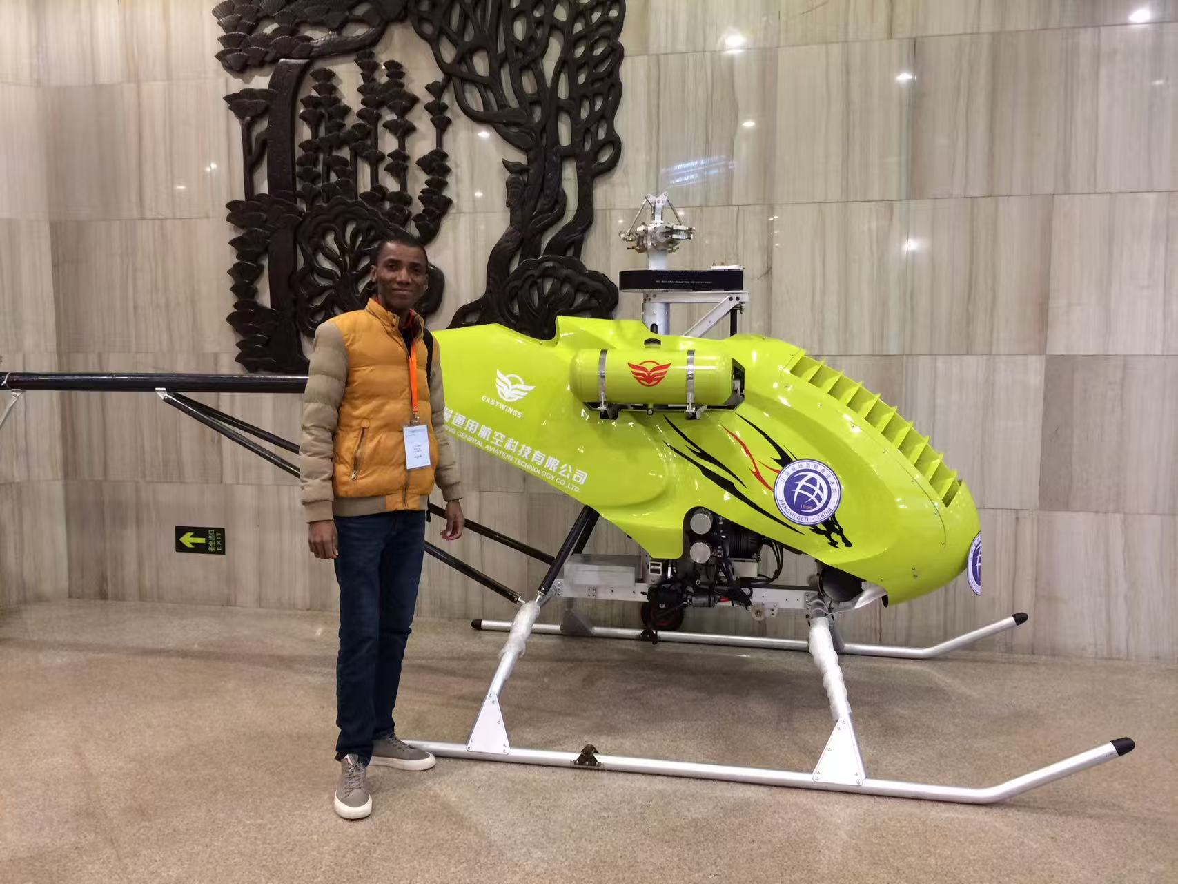
EM-UAV System
Electromagnetic sensors on an unmanned aerial vehicle for non-invasive subsurface mapping.
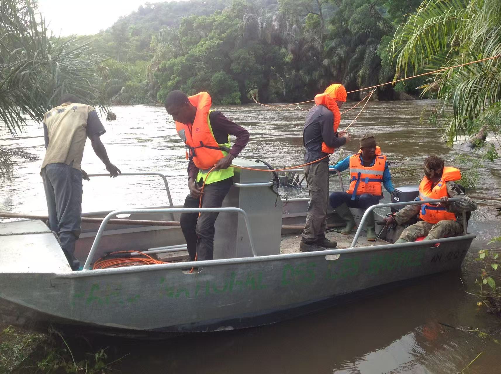
Cross-River Survey
Combined ERT and seismic refraction profiling across a river corridor for fault structure mapping.
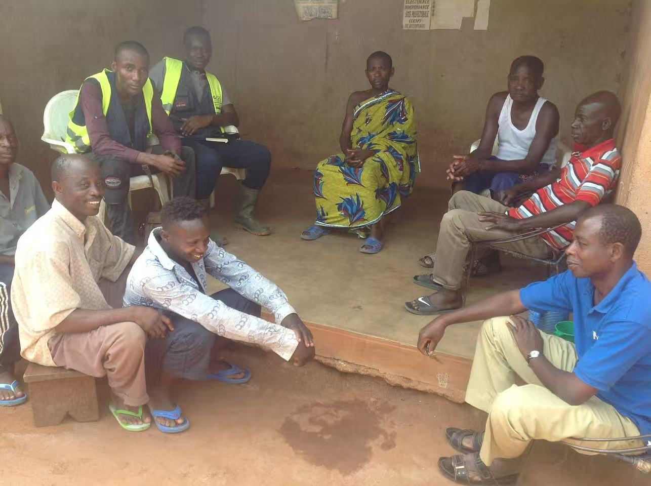
Community Engagement
Working with local communities to align survey priorities with ground-level water access needs.
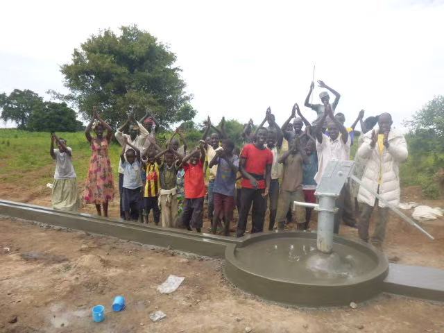
Clean Water Delivered
A functional pump installed after successful geophysical survey and borehole drilling — direct impact on village access to clean water.